The Friday morning started with breakfast where the option was coffee and “full house” breakfast – no other choices – but with super friendly service. We were all grateful and silently excited to start our Matopos adventure.
After breakfast we met Rob – a retired teacher and expert on the regions and Ndebele history. Rob was our guide at the Khami World Heritage site, a short 22 km drive from Bulawayo. Rob guided us through the ruins sharing his incredible knowledge, experience and stories. Interestingly, he has committed his retirement to teaching the younger generation about their cultural history.
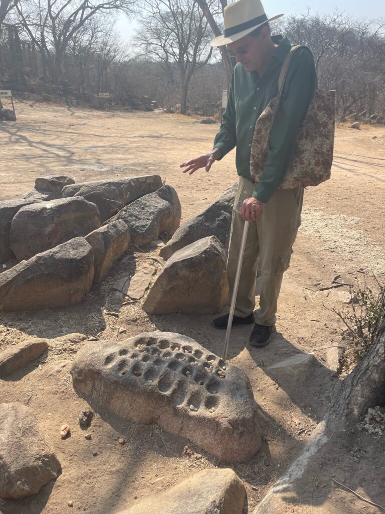
“The Khami Ruins National Monument is located to the west of the Khami River, 22 km from the City of Bulawayo. The property, located on a 1300 m hilltop downstream from a dam built during 1928-1929, covers an area of about 108 ha, spread over a distance of about 2 km from the Passage Ruin to the North Ruin”.
“The property was the capital of the Torwa dynasty, which arose from the collapse of the Great Zimbabwe Kingdom between 1450 -1650 and was abandoned during the Ndebele incursions of the 19th century. Khami is the second largest stone built monument in Zimbabwe. Its historical importance lies in its position at the watershed between the history of Great Zimbabwe and the later Zimbabwe period. It is one of the few Zimbabwe sites that were not destroyed by treasure hunters and its undisturbed stratigraphy is scientifically important in providing a much clearer insight into the history of the country: – from Unesco site.
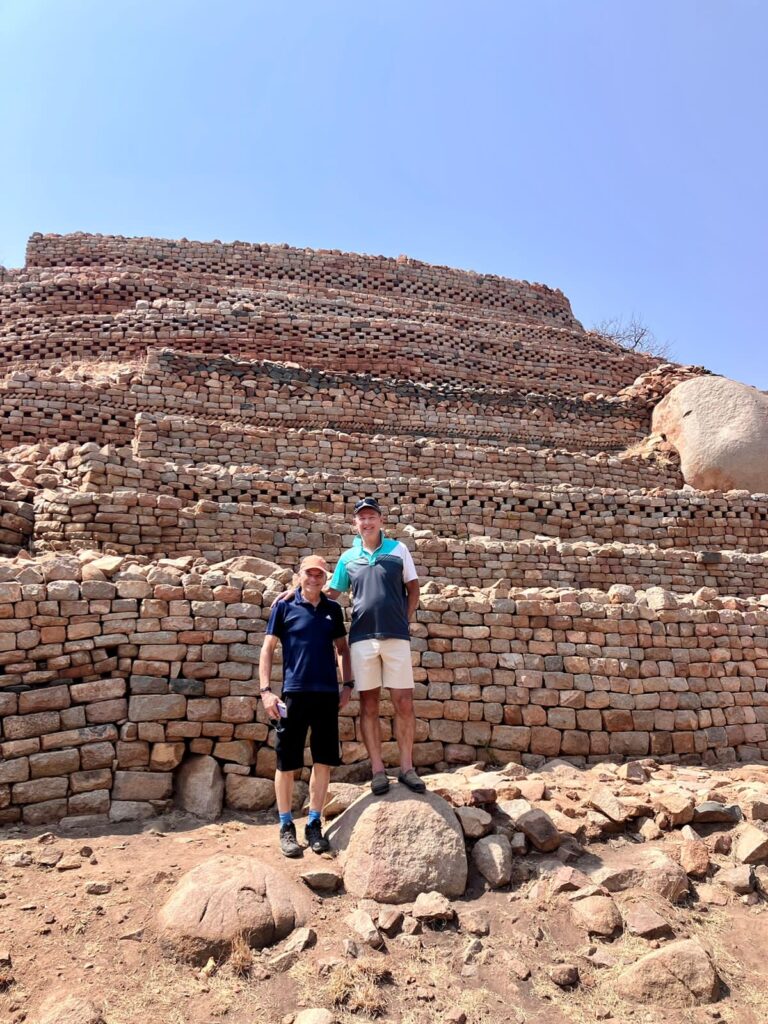
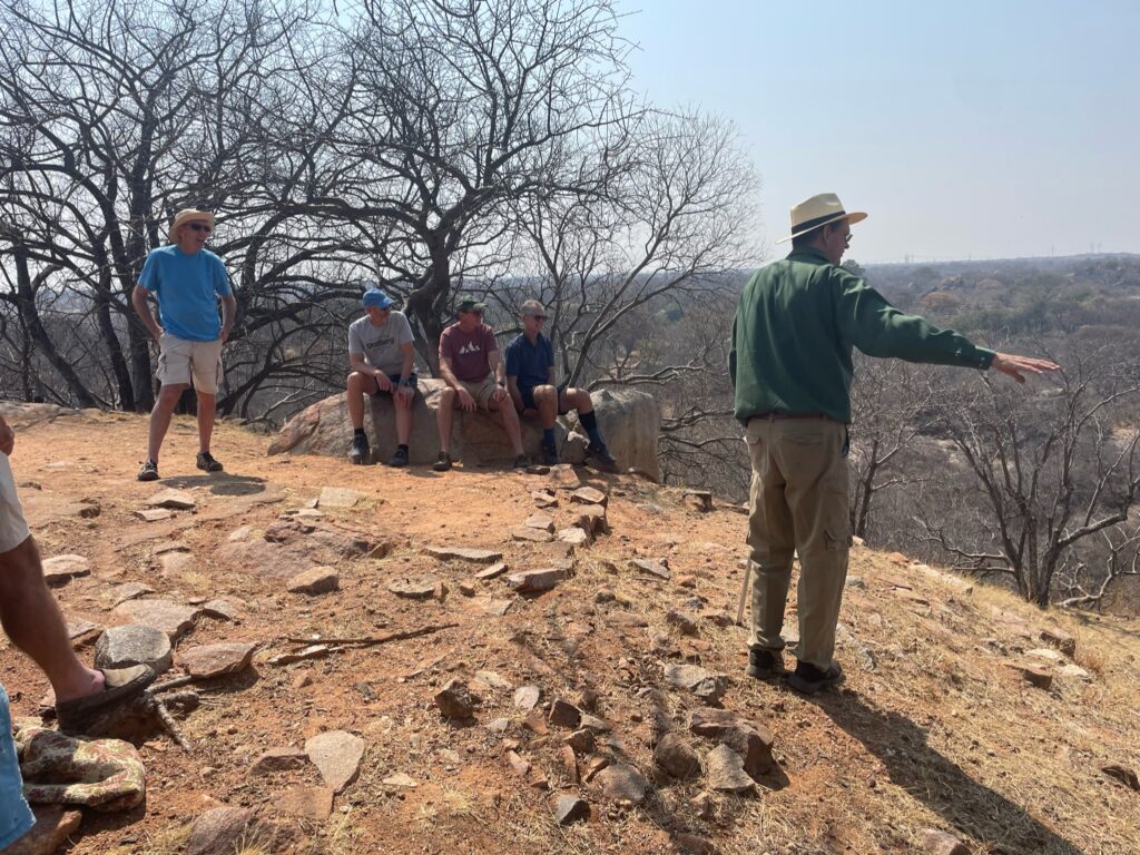
The stone work and decorations were built on one side of the hilltop where the king lived. Anyone visiting the king would come from this direction. The construction and patters were to give a show of power. Only trusted leaders – who lived on their own smaller surrounding hilltops with own hilltops with rock walls- could ever see the king. The king could however observe goings on from his hilltop.
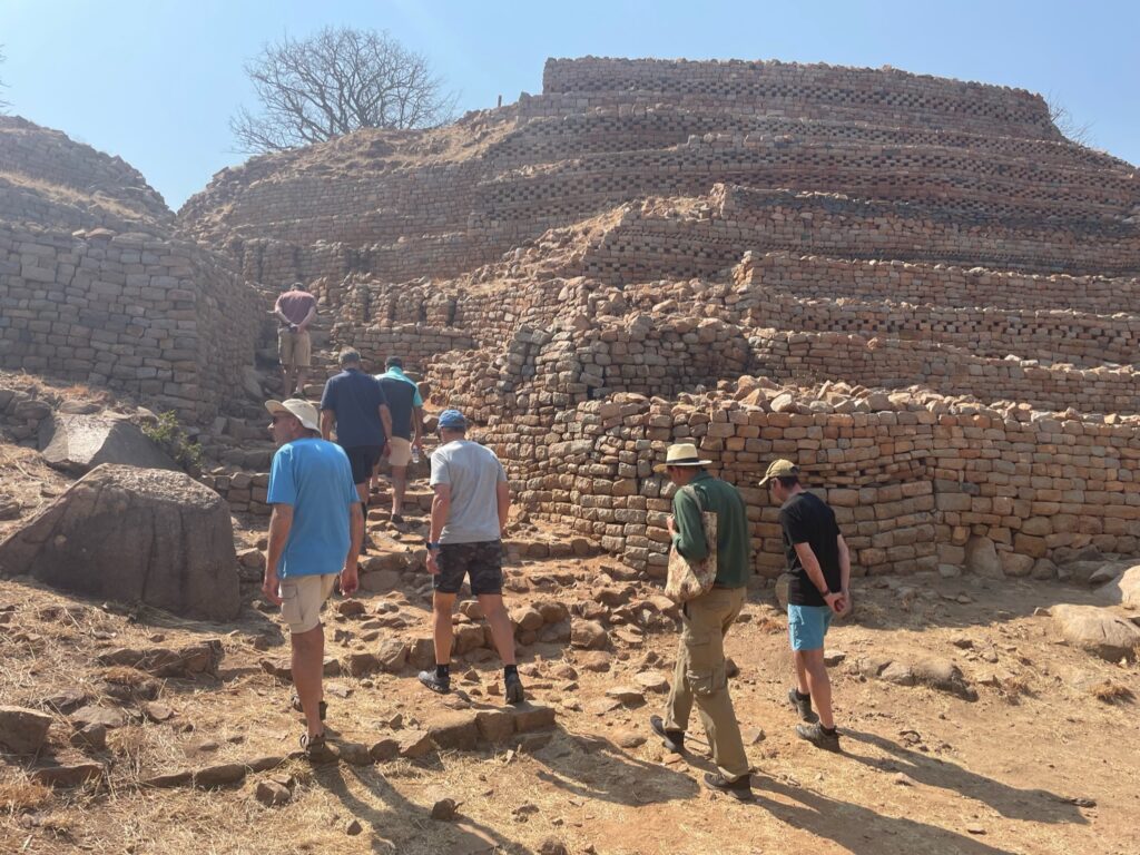
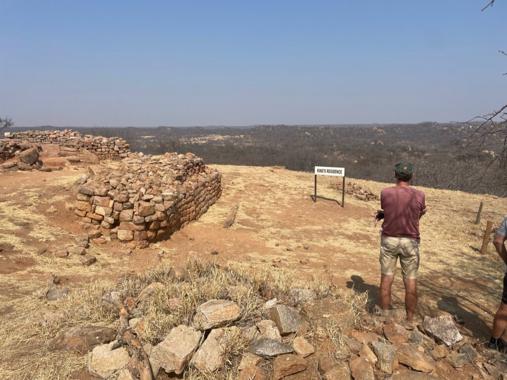
Firstly, only men could come up this path. On the way up the first hut was where a sangoma would determine if the spirits were happy with the visit. If all was ok the visitor proceeded to a larger hut split with central wall where the top of the wall had a reed screen to allow the discussion to take place without seeing the king or making any eye contact. The king lived to the left of the picture on the top of the hill.
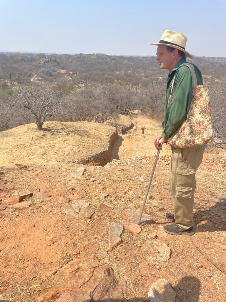
This path on the rear of the hill was for the wives and women only. The most influential wife lived on the first and closest hill and had direct access to the king. Wives were crucial in the way that the king managed his kingdom. He had many wives who mostly lived in villages within walking distance of each other around his kingdom. The wives then became a crucial way for the king to get a network of information of what was happening in his kingdom. The most influential wife was also responsible for managing the other wives.
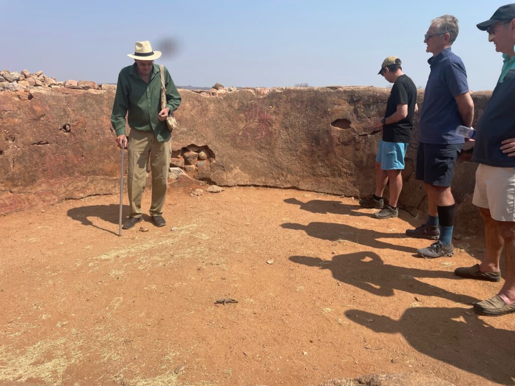
Just below the kings hut was a round hut with two entrances and originally had a wooden bridge over which the king walked to his hut. This hut had a rear entrance through which the most important or other wives entered tp meet with the king.
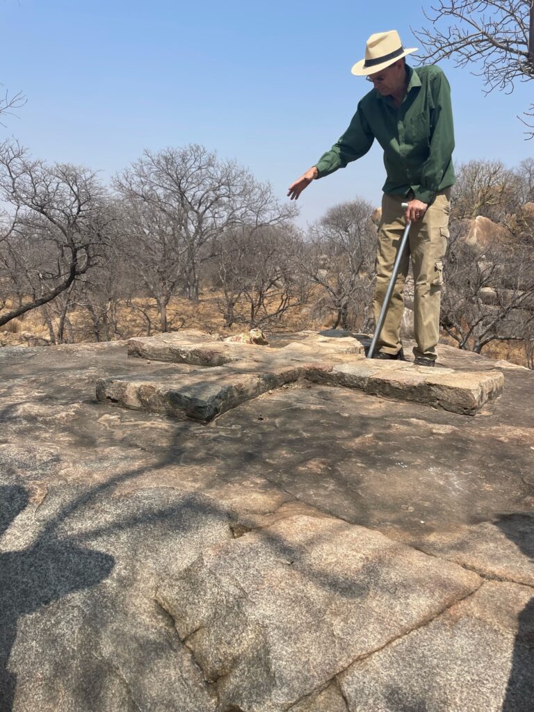
Interesting for me was the Portuguese influence who came in from the East to trade in gold. In 1646 they conquered the king and his empire – the Portuguese cross is still on the rock located on one of the lower hilltops which was very likely the kings subordinate responsible for trading with the Portuguese.
Next story on Zimbabwe Matopos 3
Leave a Reply
You must be logged in to post a comment.